Log in
All resources
Create a design
5,255 Free Images of Fauna Bl
smithsonian libraries
zoology
canada
arctic regions
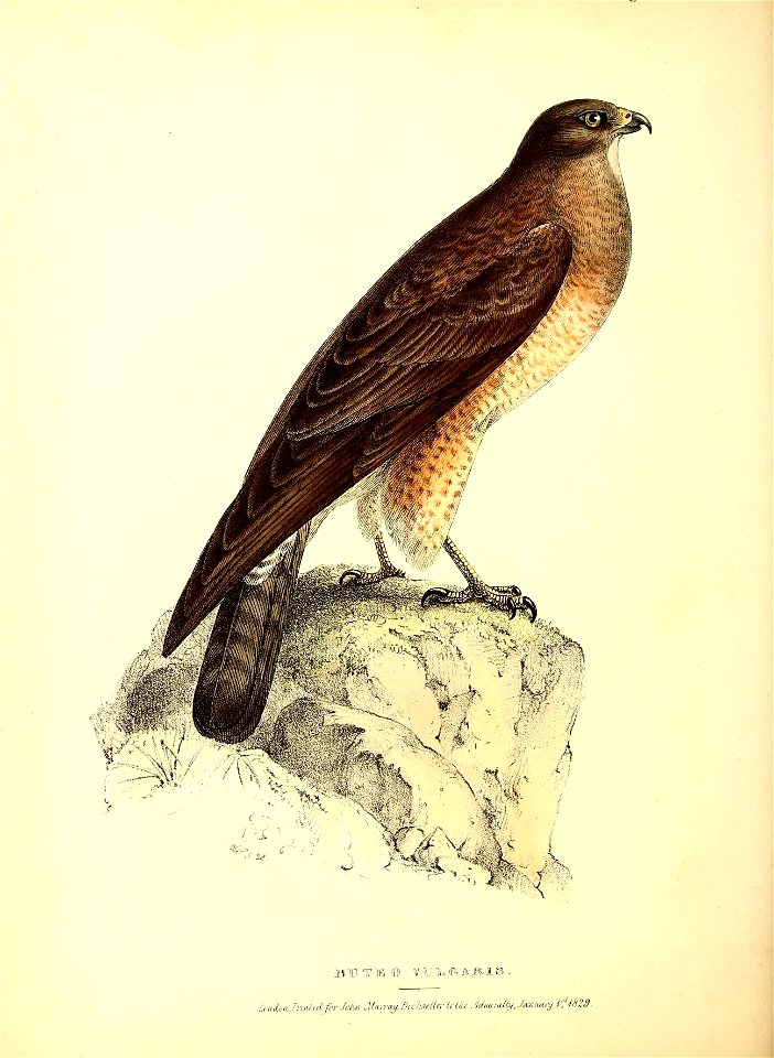
fauna boreali-americana, or, the zoology of the northern parts of british america pt.2
british library
copper engraving print
joan blaeu
animals
italy
polynesia
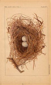
bird
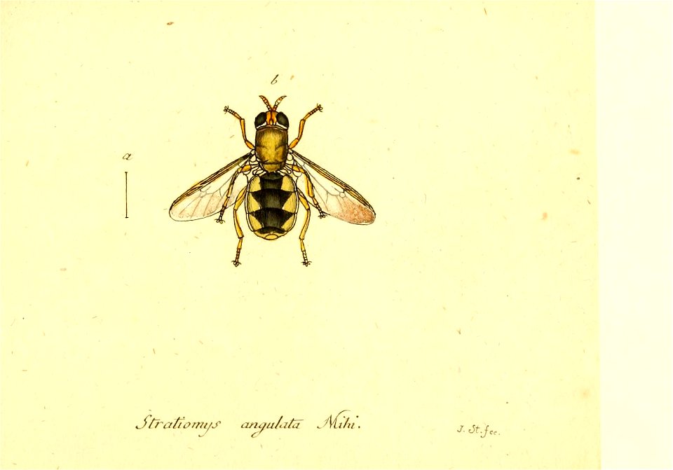
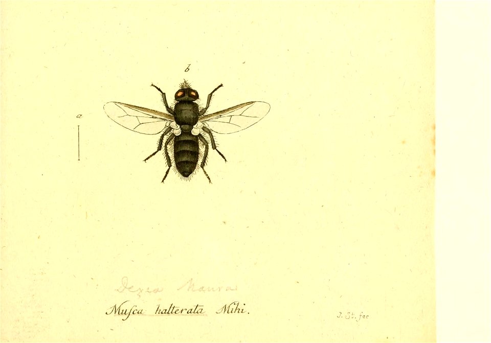
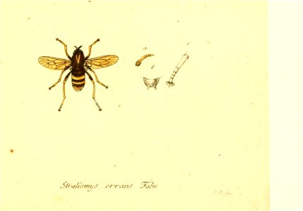
insects
library
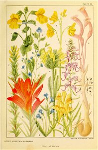
rocky mountains
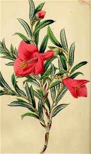
wildflower
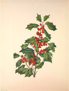
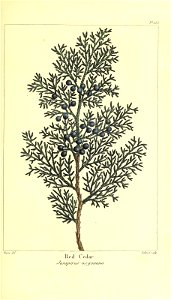
berries
tree
fruits
garden
mammals
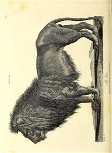
lion
identification
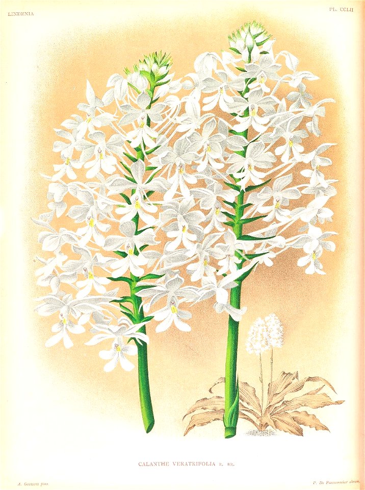
orchid
australia
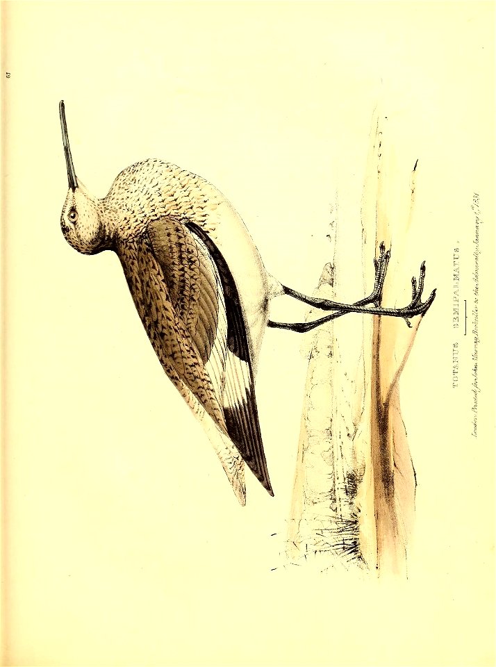
bird
animals
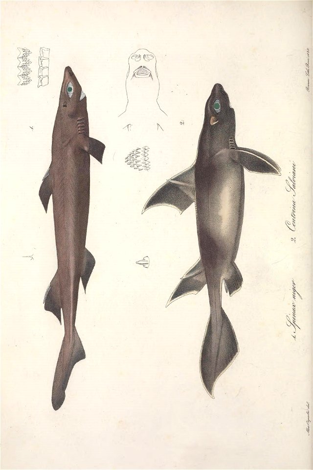
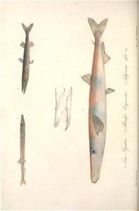
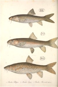
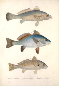
fish
animals
fish
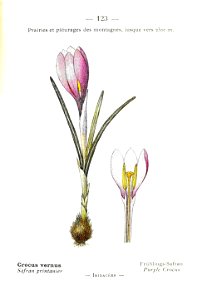
plants
crocus
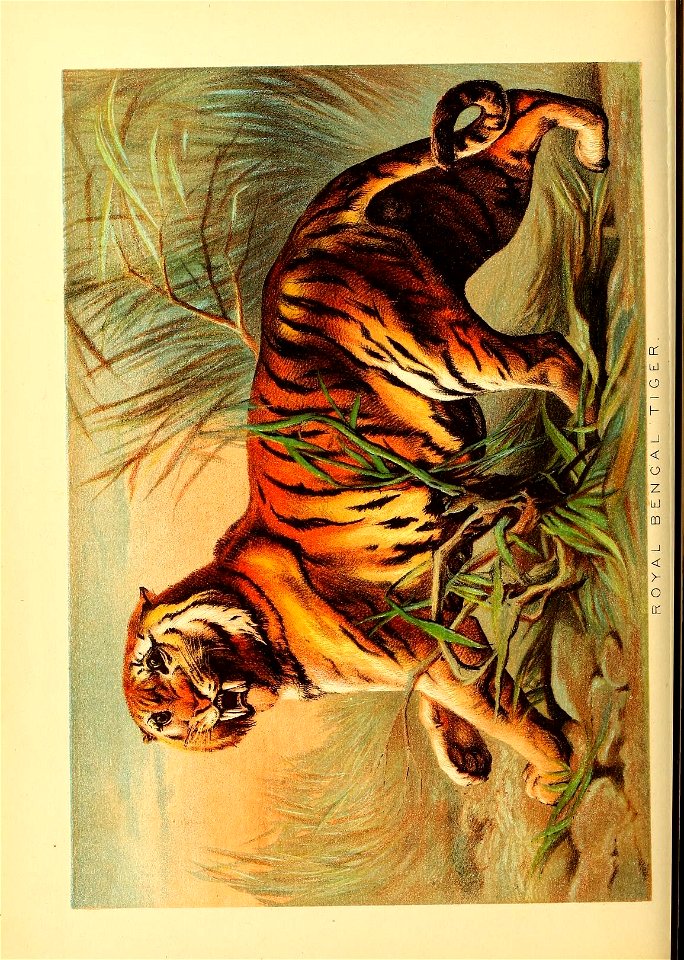
mammals
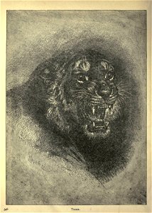
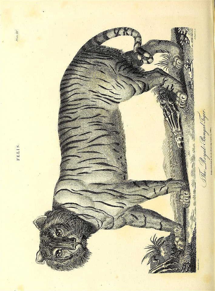
tiger
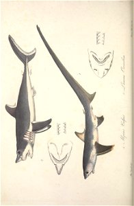
zoology
canada
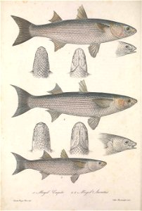
zoology
canada
zoology
canada
zoology
canada
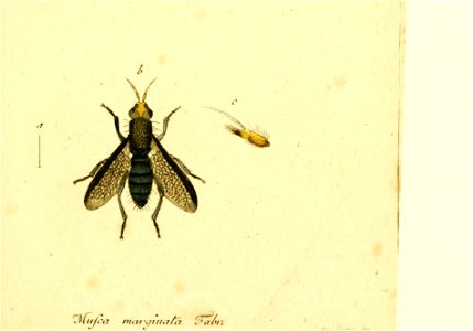
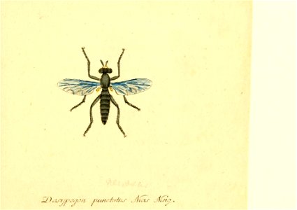
insects
fly
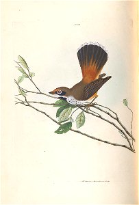
australia
bird
animals
fish
animals
fish
old and new london, illustrated (1873) by walter thornbury and edward walford - bl 1887 copy
maps from the mechanical curator collection
old and new london, illustrated (1873) by walter thornbury and edward walford - bl 1887 copy
joseph swain
john of wallingford, collecteana (c.1250s) - bl cotton ms julius d vii
a short history of the english people (1892 etc) by john richard green
old and new london, illustrated (1873) by walter thornbury and edward walford - bl 1887 copy
william h. prior
atlas maior, vol 11 (asia) - joan blaeu, 1667 - bl 114.h(star).11
1660s maps of china
atlas maior, vol 2 (sweden, russia, poland, eastern europe, and greece) - joan blaeu, 1667 - bl 114.h(star).2
17th-century maps of prussia
old and new london, illustrated (1873) by walter thornbury and edward walford - bl 1887 copy
realism,romanticism
old and new london, illustrated (1873) by walter thornbury and edward walford - bl 1887 copy
william h. prior
atlas maior, vol 2 (sweden, russia, poland, eastern europe, and greece) - joan blaeu, 1667 - bl 114.h(star).2
17th-century maps of the aegean sea
atlas maior, vol 2 (sweden, russia, poland, eastern europe, and greece) - joan blaeu, 1667 - bl 114.h(star).2
17th-century maps of the aegean sea
atlas maior, vol 2 (sweden, russia, poland, eastern europe, and greece) - joan blaeu, 1667 - bl 114.h(star).2
maps of candia by ortelius and mercator
atlas maior, vol 11 (asia) - joan blaeu, 1667 - bl 114.h(star).11
1667 maps
17th-century maps of the strait of magellan
maps by nicolas sanson
froissart, chroniques de france et d'angleterre, book ii (c.1460-1480) - bl royal ms 18 e i
wat tyler
atlas maior, vol 5 (england) - joan blaeu, 1667 - bl 114.h(star).5
old county maps of denbighshire
1660s maps of spain
1667 maps
atlas maior, vol 5 (england) - joan blaeu, 1667 - bl 114.h(star).5
old county maps of montgomeryshire
atlas maior, vol 10 (spain and africa) - joan blaeu, 1667 - bl 114.h(star).10
1667 maps of europe
atlas maior, vol 5 (england) - joan blaeu, 1667 - bl 114.h(star).5
old county maps of caernarfonshire
atlas maior, vol 10 (spain and africa) - joan blaeu, 1667 - bl 114.h(star).10
1667 maps
atlas maior, vol 5 (england) - joan blaeu, 1667 - bl 114.h(star).5
old county maps of bedfordshire
atlas maior, vol 5 (england) - joan blaeu, 1667 - bl 114.h(star).5
old county maps of worcestershire
drawings made in the countries visited by captain cook in his first voyage (1769) - bl add ms 23920
images released by british library images online, march 2014
the county seats of the noblemen and gentlemen of great britain and ireland by francis orpen morris - bl copy
houses and halls of lincolnshire in historical prints
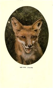
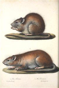
mammals
red fox
library
germany
library
germany
library
germany
animals
hunting
identification
orchid
mammals
tiger
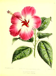
plants
flower
zoology
africa
animals
italy
animals
italy
berries
botany
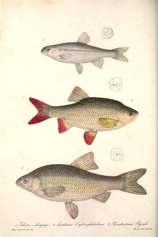
animals
fish
period
fauna
africa
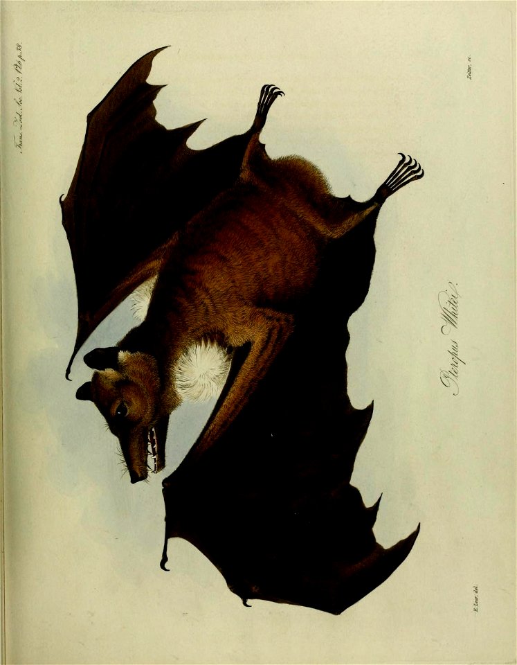
bats
zoology
canada
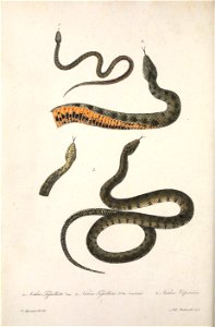
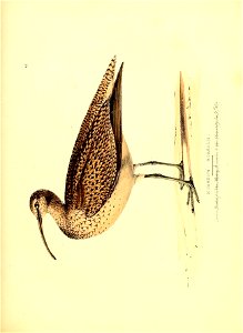
zoology
canada
zoology
canada
zoology
canada
zoology
canada
zoology
canada
zoology
canada
zoology
canada
zoology
canada
zoology
canada
zoology
canada
zoology
canada
zoology
canada
zoology
canada
zoology
canada
zoology
canada
zoology
canada
zoology
canada
zoology
canada
zoology
canada
zoology
canada
zoology
canada
zoology
canada
zoology
canada
zoology
canada
zoology
canada
zoology
canada
zoology
canada
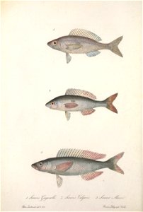
animals
fish
animals
fish
animals
fish
animals
italy
animals
fish
animals
fish
bl 9.2 inch howitzer "mother" at the imperial war museum
imperial war museum at crystal palace 1920-1924
1660s maps of spain
1667 maps
old and new london, illustrated (1873) by walter thornbury and edward walford - bl 1887 copy
william h. prior
atlas maior, vol 2 (sweden, russia, poland, eastern europe, and greece) - joan blaeu, 1667 - bl 114.h(star).2
17th-century maps of scandinavia
atlas maior, vol 2 (sweden, russia, poland, eastern europe, and greece) - joan blaeu, 1667 - bl 114.h(star).2
17th-century maps of scandinavia
atlas maior, vol 2 (sweden, russia, poland, eastern europe, and greece) - joan blaeu, 1667 - bl 114.h(star).2
coats of arms of the tsardom of russia
atlas maior, vol 11 (asia) - joan blaeu, 1667 - bl 114.h(star).11
17th-century maps of korea
4501 - 4600 of 5,255
Next page
/ 53


![[a] Bedfordiensis Comitatvs; [b] Bvckinghamiensis Comitatvs, Joan Blaeu, 1667](https://cdn.creazilla.com/illustrations/10001510670/a-bedfordiensis-comitatvs-b-bvckinghamiensis-comitatvs-joan-blaeu-1667-md.jpg)